Fortis can profile meteorological analysis specific to projects. This means façade design encompasses the regional climatic conditions and potential impacts for the future.
We are able to demonstrate the range of influences that atmospheric composition can have on varied façade material types. We analyse chemical composition, dominant precipitation types, prevailing synoptic weather and topographical factors.
We can also project these conditions forward through statistical analysis. These contribute to BREEAM climatic studies

Geographic Information System (GIS) is the analysis of temporal and spatial data.
We use this to accurately account through modelling; urban heat island mapping (UHI), Land classification, topography, geology, biodiversity, dendrological studies, atmospheric composition and suitability mapping.

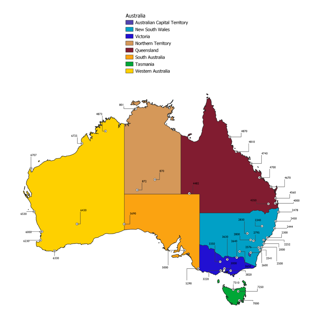
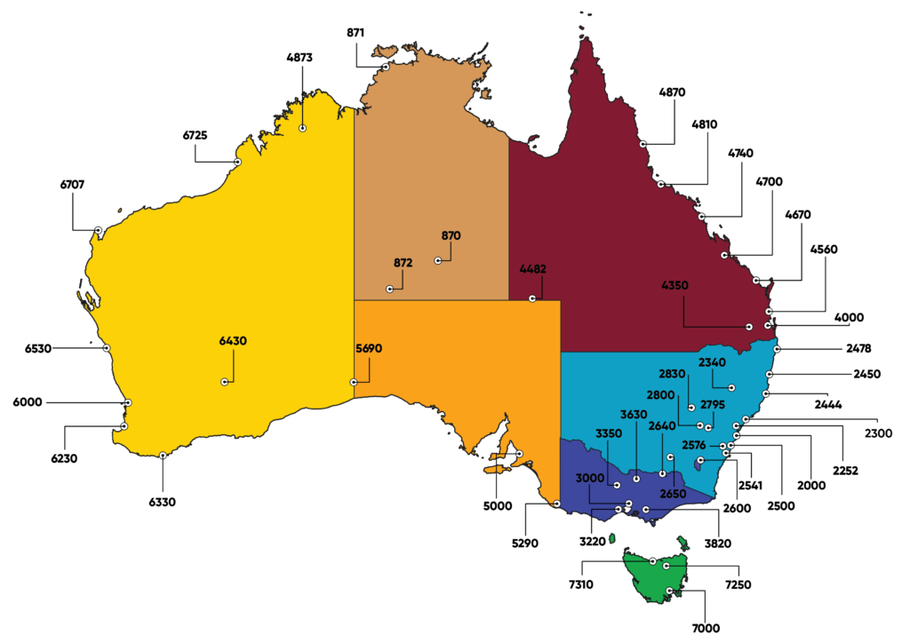
We provide analysis using data from over 4000 weather stations recording real time observations.
We use this data to influence the façade materials we select for projects which is fundamental in reducing urban warming as population and urban sprawl increases the frequency of heat island effect. This data is also used to project forward and evidence resilience design through sustainable solutions.
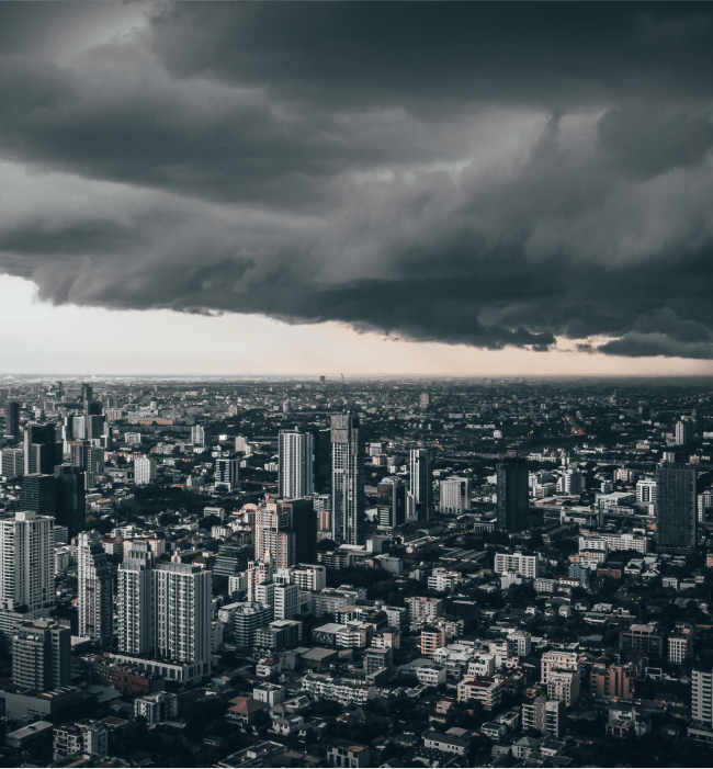
Atmospheric conditions combined with regional geography and topography influences the way our buildings degrade.
Mineral and Biological soiling of facades can devalue assets. Our environmental teams can specify mitigation techniques to reduce building maintenance costs and design remediation plans to prolong longevity through resilience. We can also advance biophilic behaviour to assist with local ecology where required.

We complete statistical analysis utilising historical weather data for the design of new building and importantly refurbishment for older structures which exist in a different climate from when they first were constructed.
On-site weather monitoring for real-time analysis which warns site operatives of adverse weather risks to material assets.
Weather modelling and simulation tools for informed decision-making in relation to future proofing design.
Informed design for buildings and facades for extreme weather events (e.g., hurricanes, floods, heatwaves)
Incorporating climate-resilient materials and technologies through accurate weather data sampling
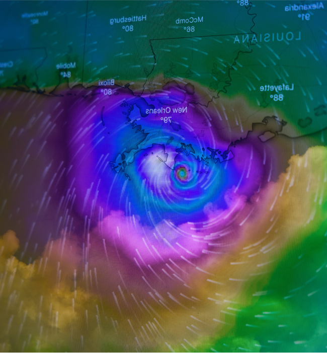
This is a dedicated free service for the construction industry which helps mitigate potential loss and increase site safety. The aim is to provide those that build, manage and commission construction an opportunity to get ahead in readiness for inclement weather.
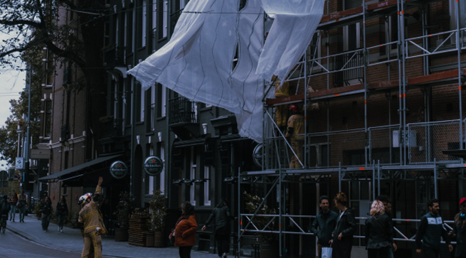
SITE-MET© is an early adverse weather warning service to aid the construction industry in the protection of personnel, material and plant assets.
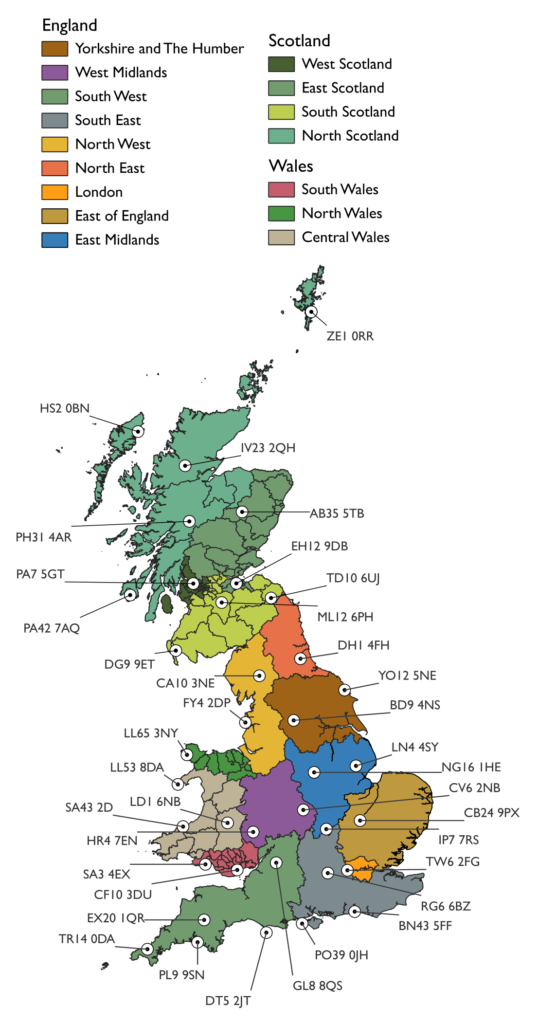
We have developed this service so that all trades and disciplines can subscribe to an automated early warning facility which will send site operatives and clients protection measure guidance checklists specific to the impending climatic condition to a specific region.
Our objective is to provide helpful guidance by offering a system which reduces tasks and only induces readiness for inclement weather which can result in minor but also major delays. Personal safety, mitigating asset loss and loss of downtime is at the focus of the guidance.
